Lofoten
Fieldworks

Turning open landscape data into interactive maps, visual studies and tools for exploring Lofoten.

Himmeltinden and its surrounding fjord in an isometric terrain study

Work

The Lofoten
Crossing

An eleven-day walk north from Å to Delp, over mountain passes and past remote beaches and fishing villages. One route, with two ways to follow it.
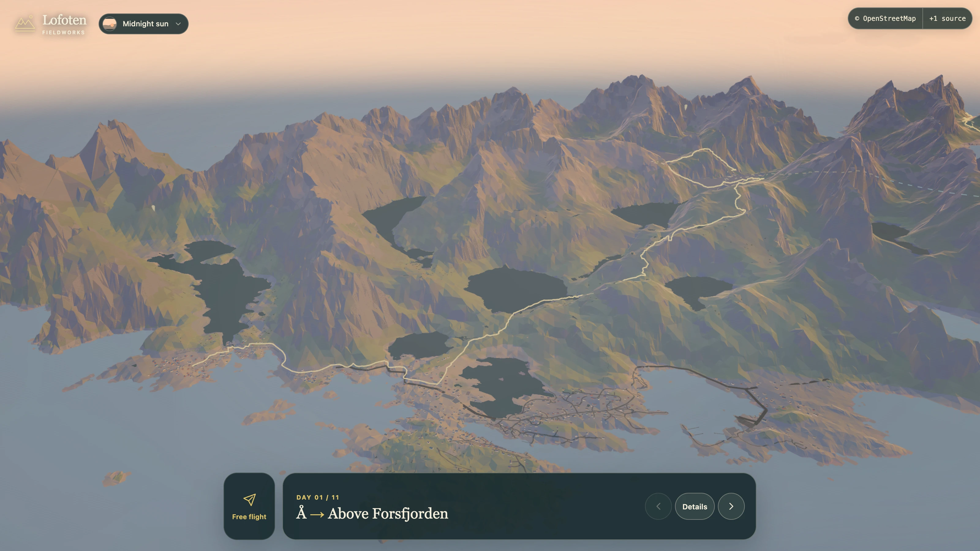
The Lofoten Crossing in the browser: day one of eleven, with the route glowing from Å across low-poly mountains and lakes in midnight-sun light
Day 01 / 11 · Å to above Forsfjorden

In your browser · Available now

Move through the walk day by day across the terrain, or leave the route and fly.

Open the browser experience

On your phone · Development previews

Take the crossing with you. Explore each stage in 3D, switch to the detailed map and look ahead to tomorrow.

View the app project
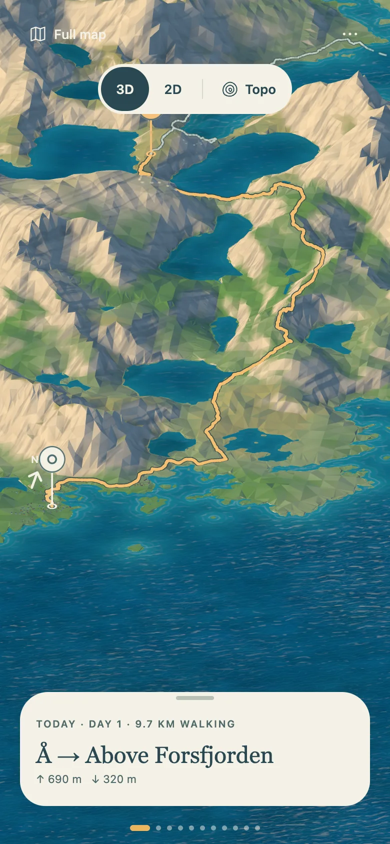
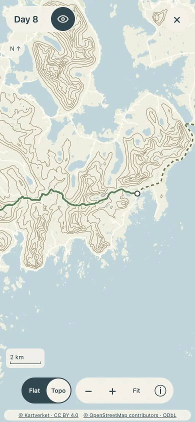
Development preview of the Crossing app showing a 3D terrain view and the Day 1 walking stage Development preview of the Crossing app showing a detailed topographic map of Day 8
App development previews · Day 1 terrain, Day 8 detailed map

In development

Activities in Lofoten

Prototype map of Lofoten zoomed to Svolvær, with illustrated cards for walking, paddling, boat trips, exploring and northern lights gathered above the town
Svolvær on the prototype map · Things to do gather where they happen

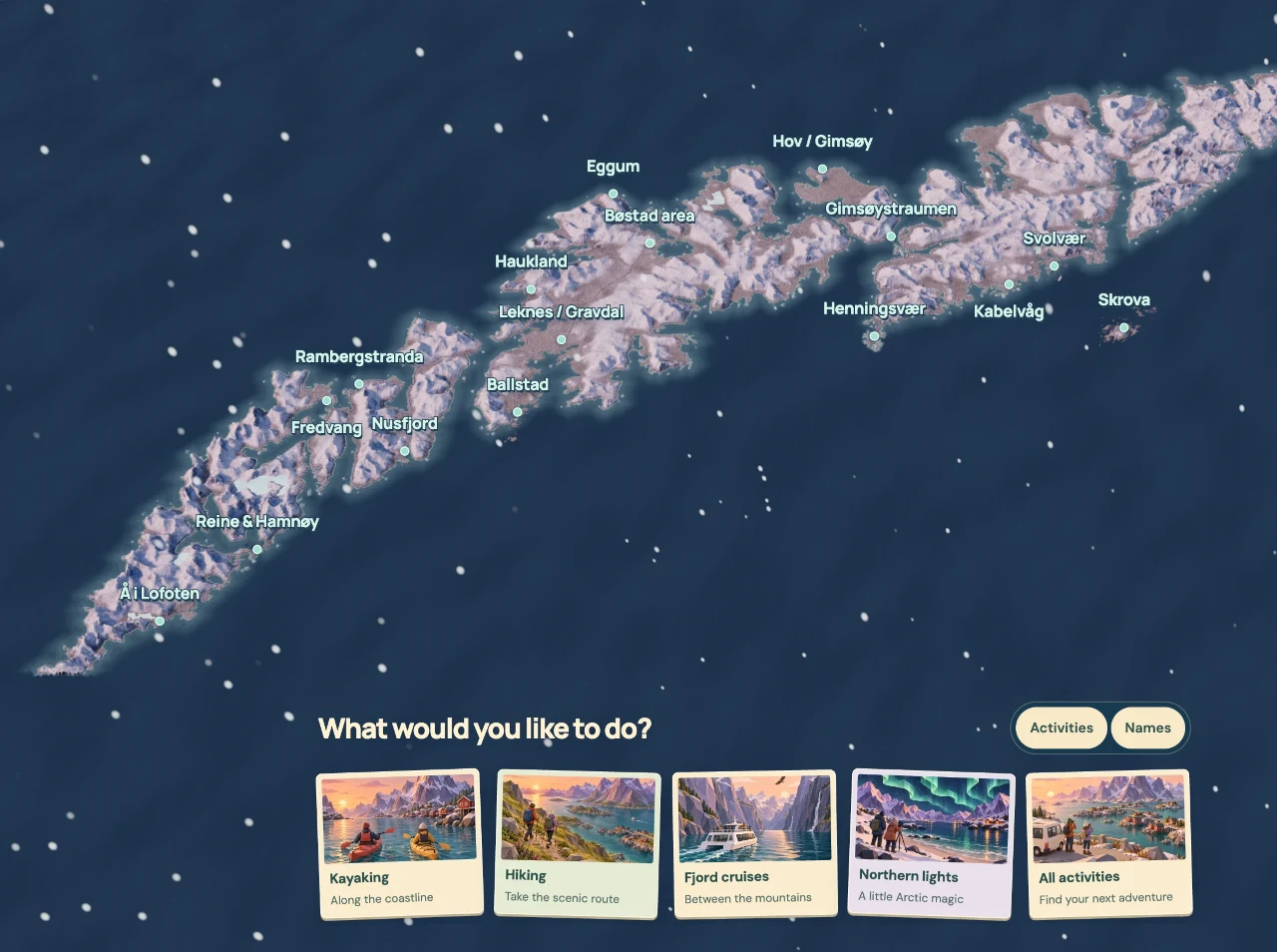
A map for working out what to do in Lofoten. Choose a place or an activity and the options gather where they happen, in summer or in winter.

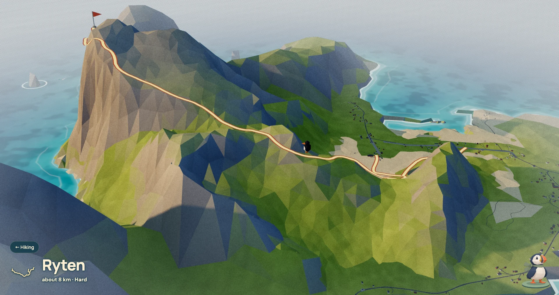
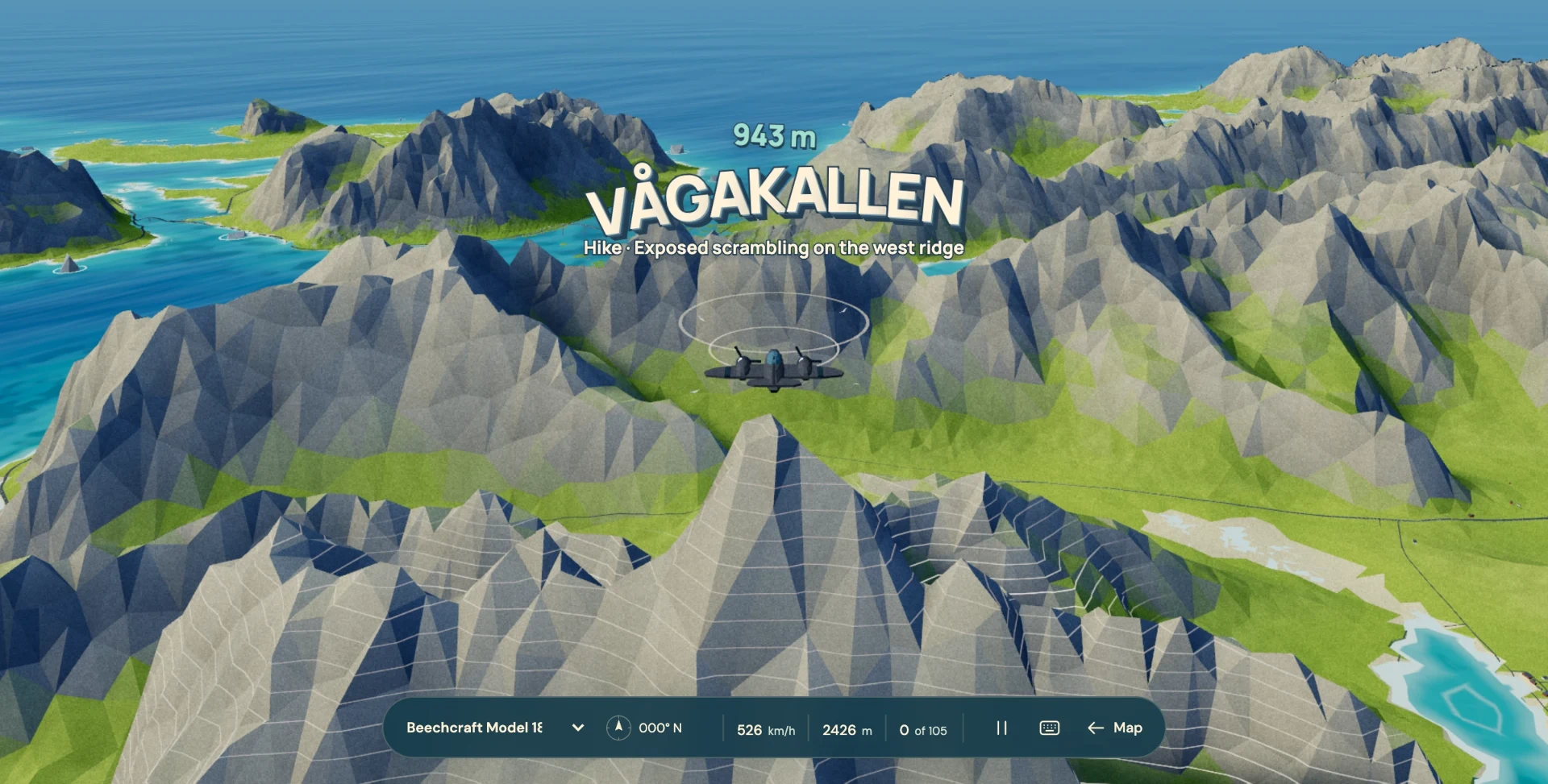
Hiking opens onto the paths themselves. Pick a walk and the view drops down to it, with its line, length and an estimate of the effort. Summit heights come from named sources. For a looser look around, take off and fly the islands while landmarks title themselves as you reach them.

A local prototype, with no public version yet. It is a way of exploring the islands, not a booking service or a navigation aid.

Prototype walk view of Ryten, about eight kilometres and rated hard, with the path rising to a summit flag and a small puffin walking the route
Ryten · Pick a walk and the view drops down to its path
Prototype flight over Vågakallen: the mountain’s contour lines light up beneath its title, a height of 943 metres and a note on exposed scrambling
Vågakallen in flight · Landmarks are titled as you reach them
The same prototype map in winter, with snow on the islands and a northern lights card among the activities
The same map in winter, when northern lights join the activities
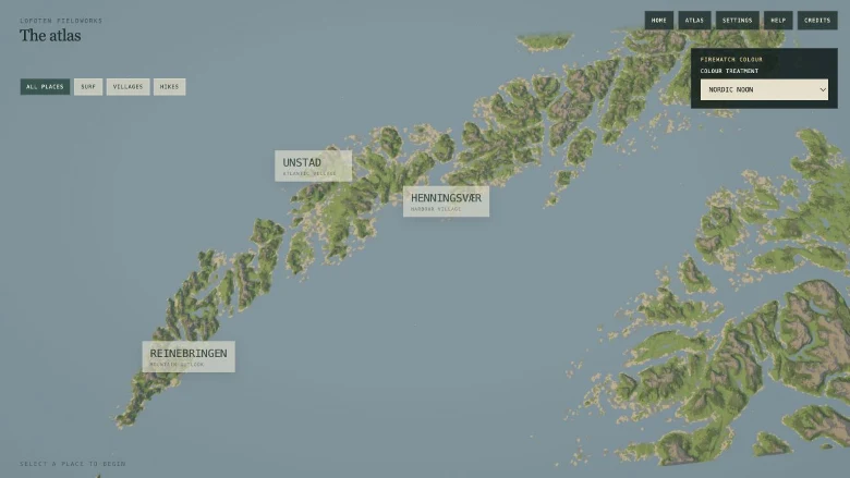
Earlier Lofoten Atlas map with Unstad, Henningsvær and Reinebringen marked across the island chain
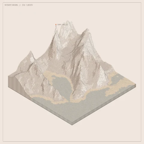
Isometric terrain study of the steep peaks and fjord at Reine
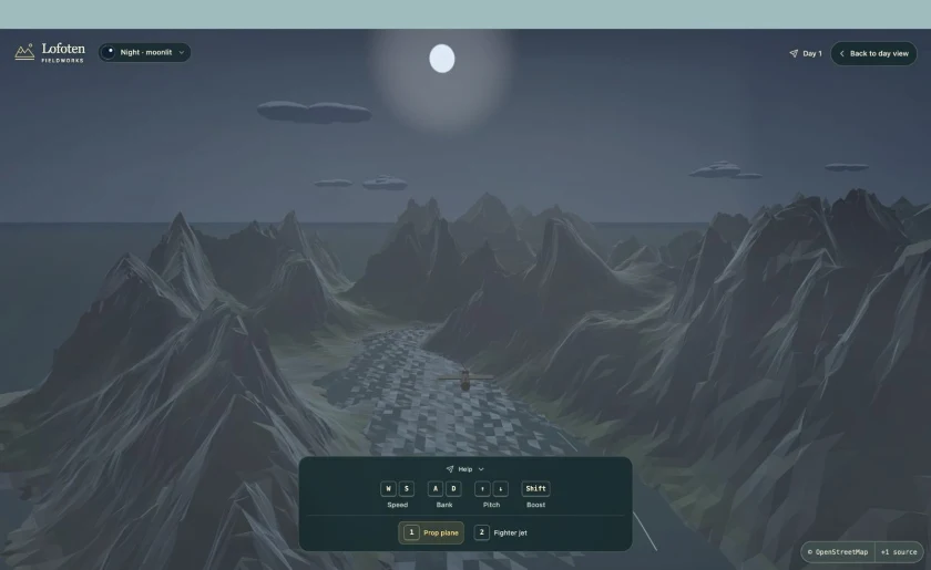
Free flight over the fjord on the approach to Reine in moonlit night lighting
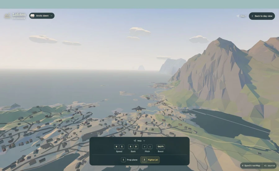
Free flight above the coastal village near Reine in Arctic dawn lighting
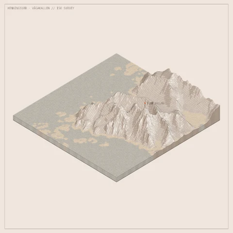
Isometric terrain study of the mountain ridges near Henningsvær and Vågakallen
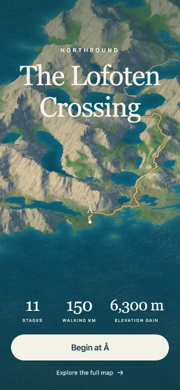
Crossing app welcome screen with its title over Lofoten terrain

Local tool

Fieldworks Iso Editor

A terrain studio for composing isometric views, then exporting them as still images or sequences.

How it’s made

The work starts with open geographic data. Kartverket elevation shapes the terrain; OpenStreetMap paths and places, NVE water and selected building records from Kartverket and Riksantikvaren add context. We reconcile those sources offline into the terrain, route and map layers behind the Crossing, its app and the Iso Editor.

Camera, colour, simplification and movement then give each result its character. Activities in Lofoten is a separate project, with its own map and data preparation.

Meet the sources
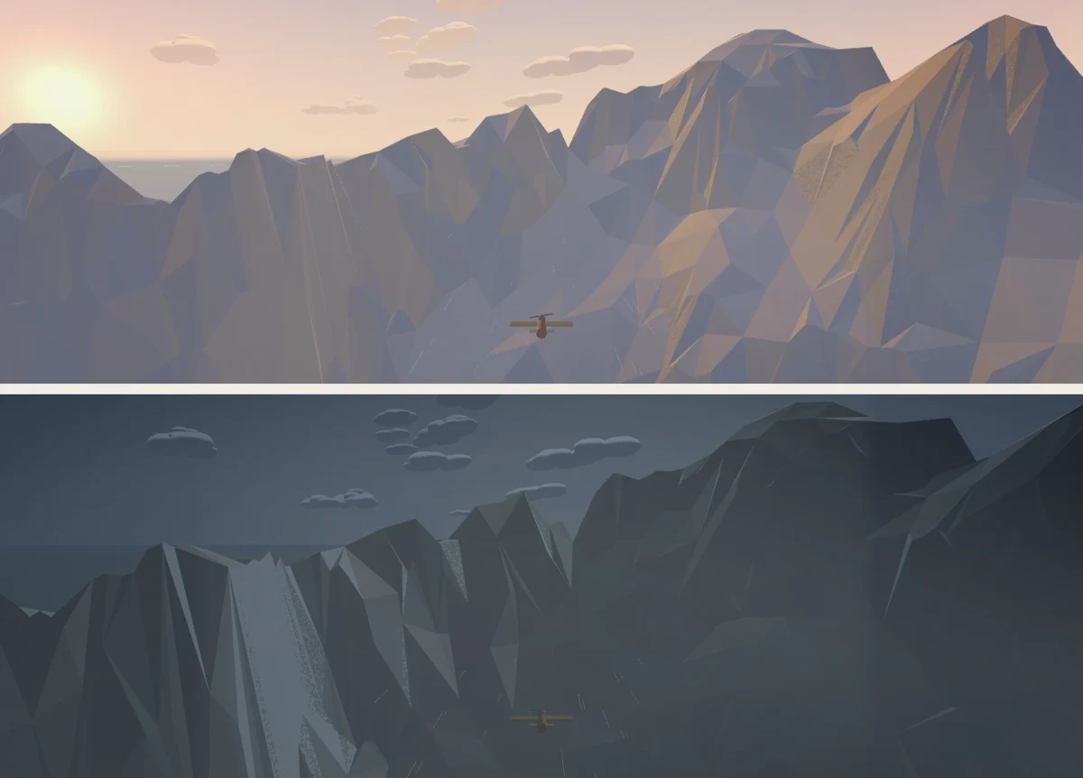
The same mountain skyline and aeroplane from Crossing free flight, shown twice: in warm midnight sun and in moonlit night
One frame, two lights · The landform is measured; the light is authored

Lofoten Fieldworks is an independent creative practice by Samuel Billingham. It brings together software as a practical tool and a creative medium through geospatial systems, visual research and interactions that make room for curiosity.

Have something related in mind? Get in touch.

[email protected]

Sources & thanks

Open geographic data underpins the work. These are the providers and datasets used across the projects, with links to their records and terms.

© Kartverket

Terrain elevation, N50 contours and building points.

© OpenStreetMap contributors

Paths, roads, buildings, places and source geometry for reviewed routes.

© NVE

Inland-water classification in terrain derivatives.

© Riksantikvaren

SEFRAK records informing selected historic building forms.

The Lofoten Crossing
Elevation and building points © Kartverket; routes and features © OpenStreetMap contributors; lakes © NVE; building records © Riksantikvaren.
Crossing app
Elevation and N50 contours © Kartverket; paths and places © OpenStreetMap contributors; lake classification © NVE. The walking line is separately reviewed and authored.
Activities in Lofoten
Map data © Kartverket and © OpenStreetMap contributors; lakes © NVE, prepared within that project. Summit heights keep their own cited sources there.
Fieldworks Iso Editor
Derived elevation © Kartverket. Landforms are measured; paper colour, light and framing are authored.